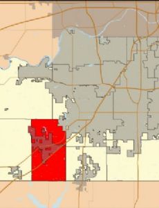
Aubry Township is a township in Johnson County, Kansas, United States. As of the 2000 census, its population was 5,440.
History
Aubry Township was organized in 1858.
Geography
According to the United States Census Bureau, Aubry Township covers an area of 48.85 square miles (126.52 square kilometers); of this, 48.7 square miles (126.13 square kilometers, 99.69 percent) is land and 0.15 square miles (0.4 square kilometers, 0.32 percent) is water.
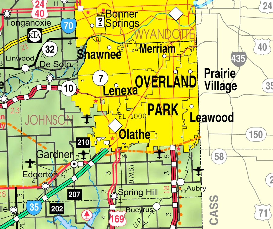
The southern edge of the city of Overland Park is within this township geographically but is a separate entity.
Communities
- Aubry at 38.770842°N 94.671068°W / 38.770842; -94.671068
- Stilwell at 38.769176°N 94.656345°W / 38.769176; -94.656345
(This list is based on USGS data and may include former settlements.)
Adjacent townships
- Oxford Township (north)
- Wea Township, Miami County (south)
- Ten Mile Township, Miami County (southwest)
- Spring Hill Township (west)
- Olathe Township (northwest)
Cemeteries
The township contains these two cemeteries: Aubry and Woodland.
Major highway
- U.S. Route 69
Airports and landing strips
- Hillside Airport
- Mission Road Landing Strip
School districts
- Blue Valley USD 229
- Spring Hill USD 230
Political districts
- Kansas's 3rd congressional district
- State House District 27
- State Senate District 37
References
Further reading
External links
- Johnson County maps: Current, Historic, KDOT